A phantom vibration initiates an automatic phone check, reminding us just how wired in we’ve become. Tuition comes due, and book lists seem to be even more expensive this time around. The leaves have started to change – yes, winter is coming. Stresses are mounting, but there is a way to leave it all behind. If just for a while.
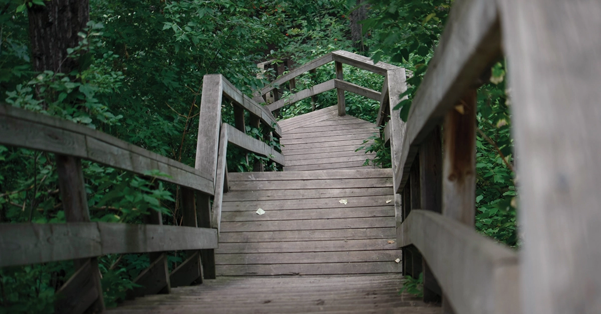
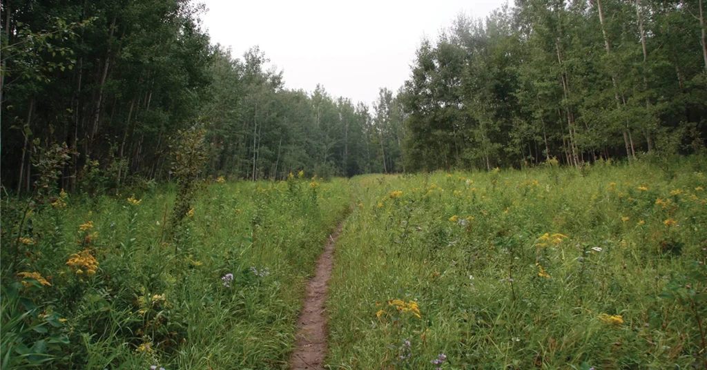
Edmonton’s river valley offers some great spaces to run, bike, hike, meditate, or just find a secluded grove and release that stress in one big ol’ roar. Here are a few easy ways to explore the river valley through trail loops that have already been blazed. Loops offer you a chance to put the urban baggage down, shake the weight off, and get ready to pick it back up, but refreshed and renewed.
The Capilano Loop
Capilano Bridge (Wayne Gretzky Drive) to Capilano Footbridge
Approximate km: 5.0
At 5 a.m. the sky is clouded with smoke, but the air’s fresher with each step deeper into the river valley. Trailheads can be found all along the loop, but the easiest seems to be just south of Concordia University, west of Wayne Gretzky Drive. The first hour of the hike is silent and serene as the minimal road noise is muffled by the dense trees and shrubs that line the packed soil trail along the north side of the river. Roots criss-cross the path, but the light is enough to see by and it only offers a reminder that the sidewalks are left behind.
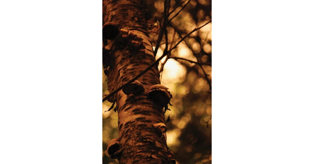
As the sky grows brighter, the smoke acts as a filter to caste the surrounding woods in an alien, almost post-apocalyptic yellow light. The berries of the Mountain Ash stand in stark contrast with the attempts of humanity to tame these wild wild lands. It is then that the birds begin to sing, as if the light has confused them as well, and only now do they realize a new day has arrived. The trail takes some steep ups and downs, and a few temporary closures due to bank erosion force a few unexpected detours along the south side. Some solitary bikers and a couple of trail runners with heavily ladened rucksacks are out for the morning, but overall the trail’s twists and bends ensure the stroll is a private one.
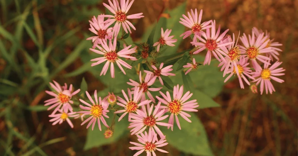
If you’re looking for the winding trail experience this may be the loop for you, especially if you enjoy taking in a variety of plant life, or munching on saskatoon berries as you walk. There are many berry bearing bushes along the path, so make sure you know which are edible and which aren’t if you’re going to indulge.
The Dawson Loop
Capilano Bridge (Wayne Gretzky Drive) to Dawson Bridge
Approximate km: 7.0
It’s early morning, the birds sing and a slight breeze pushes away the worst of the mid-August smoke. The sun is barely visible through the clouds, but the grey makes the green pop even more as running shoes crunch the fine gravel of the trail. A mix of gravel, packed soil, and paved trails, the Dawson Loop doesn’t fluctuate much in elevation. While it’s one of the longer loops on the list, it can be completed in a couple hours at a slow pace and has plenty of rest stops and viewpoints along the way.
The path could also be named the Maple Loop due to the large number of maple trees that line it. Among other natural sights are the grey coloured cliffs that resemble Southern Alberta’s Badlands. The trail follows along the river, allowing numerous chances to observe the natural splendor. At various times you may also see the dragon boat teams out practicing as you get closer to Dawson Bridge. You can even stop along the northern shore and improvise a swing over the river if you don’t mind getting your feet wet. There are also a few larger group areas where fires can be lit if a picnic or weiner roast is something you enjoy. The bright, red bark and white berries of dogwood, patterned with the crimson and purples of other shrubs, creates a floral tapestry that hugs the trail as it winds along the rivers southern bank.
If you’re looking for something to hike on a Sunday afternoon with friends or family, this may be an option. The trail has fewer people than more popular, central loops, but still offers wide trails along the northern bank and a few interesting sights along the way. The trail’s lack of incline also makes it a much easier undertaking for those who may want more of a walk than a hike. Trailheads can be found south of Concordia University and in Dawson Park.
Emily Murphy Loop
Groat Road Bridge to Dudley B. Menzies Footbridge
Approximate km: 5.0
The heat of the afternoon has started to dwindle, but it is still warm enough to keep the most tenacious mosquito at bay. The wide trails of the Emily Murphy Loop offer the most scenic sights along the south bank of the river as it winds through Emily Murphy Park and into Kinsmen Park. While trailheads can be found at both parks, the avid stair climber can also park along Saskatchewan Drive or at the University of Alberta and traverse some winding sets of staircases to get to the main trail. The southern portion of the trail is mostly fine-crushed gravel, while the northern half is paved. The loop as a whole has people out enjoying the sights whether jogging, walking, or biking along its length.
Little mice can be found scurrying along the north bank of the river, not necessarily afraid of those walking the path, but curious and eager for dropped bits of hiker fuel. If the times line up, you can pause on the Dudley B. Menzies Bridge to watch the lights of Walterdale Bridge, enjoy the view as Edmonton’s own river boat paddles up the river, or you can look up to see a piece of Edmonton’s history as an old trolley car travels out along the High Level Bridge.
The busiest of the reviewed trails, the Emily Murphy Loop only takes an hour or two to traverse, and there are many sights and rest points along the way. It’s a good trail for those that live in the downtown area and are looking for a way to escape the core. While the north trail follows a main road for the bulk of its length the south trail is mostly removed from the sights of the city, though some nice Edmonton skyline views can be found through the trees.
Quad Park Loop
Quesnell Bridge to Buena Vista/Hawrelak Park Footbridge
Approximate km: 7.0
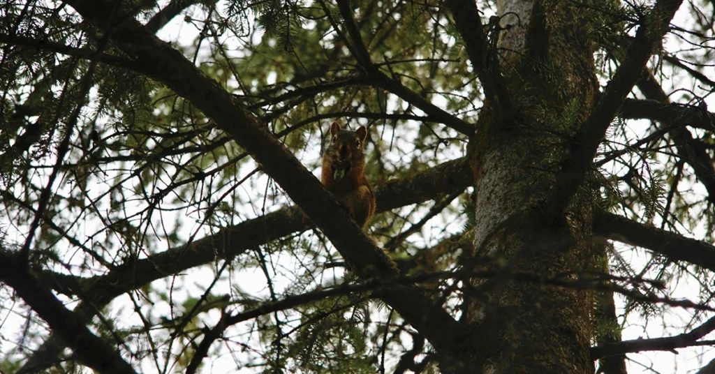
The trail is lined with fly fishers ankle deep in the great North Saskatchewan trying their luck to pull nature’s bounty from the river. The urban fishers add another layer to this hiking experience as they wave to those who wander the trails. The Quad Park Loop winds through Whitemud Park, Sir Wilfrid Laurier Park, Buena Vista Park, and Hawrelak Park. One doesn’t walk this path alone. The squirrels are everywhere, and they’re brave, leaping from tree to tree as you walk the winding paved and gravel trails. The friendly critters are always close, waiting, and watching.
This trail is probably the most difficult in the group due to the changes in elevation and length, but there are more benches and look-out points than any other loop mentioned in this list. The parks are well maintained with barbecue pits, and picnic tables never far out of reach. Public art, such as the Talus Balls, can also be viewed along the trail, and it’s a great chance to see them up close and enjoy the myriad of reflections as the sun sets and the metallic balls dance with reflected pink and orange.
This is the most accessible and cheapest loop, in terms of parking, as each quadrant of the trail has a trailhead where parking is free. It’s also a trail that can be easily accessed by transit. If you’re looking to spend four or five hours of your evening or afternoon, or for a more tourist-focused, groomed trail experience, this is a great option. It’s also a great loop for those looking to improve their endurance as the distance and sporadic elevation shifts allow the opportunity for fledgling hikers and bikers to up their game.
Terwillegar Park Loop
Circle around and back to the Terwillegar parking area
Approximate km: Various
The car slows as it rounds the last bend while travelling towards the Terwillegar Park trailhead. The parking lot has a wall of trees to the left and straight ahead, and to the right has a wide open field where occasionally, people with their dogs can be spotted enjoying the chance to be free from urban restraints in the vast open space.
Terwillegar Park is a honeycomb of trails nestled into an elbow of the North Saskatchewan. There is no singular loop, instead, the chance to create your own by wandering the maze of trails created by hikers and bikers is a great opportunity. You never know what you’ll discover as you crest a hill or come around a bend. You can see bald eagles soar high above pools of water seeking their next meal, or glimpse snoring porcupines as they lounge in dells away from the harsh rays of the afternoon sun, and see red foxes darting from shadow to shadow looking for mice to call breakfast. After only two hours exploring the park all this and more can be viewed by being guided by feet and whimsey.
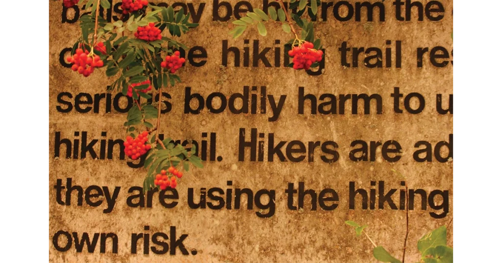
If you’re a fan of dogs and are looking for an unstructured hiking experience where you can choose the path of least or greater resistance, then Terwillegar Park is a great place to spend an afternoon or day. There is only one trailhead to gain access to the trails, and the parking area can get pretty congested around peak times in the evening and on the weekend.
Photography by Derrick Ferry.